On a linear project, the handsome 3D model is not the deliverable that decides. What decides is the ability to answer a precise question about a precise structure.
Buildings and linear works are not handled alike
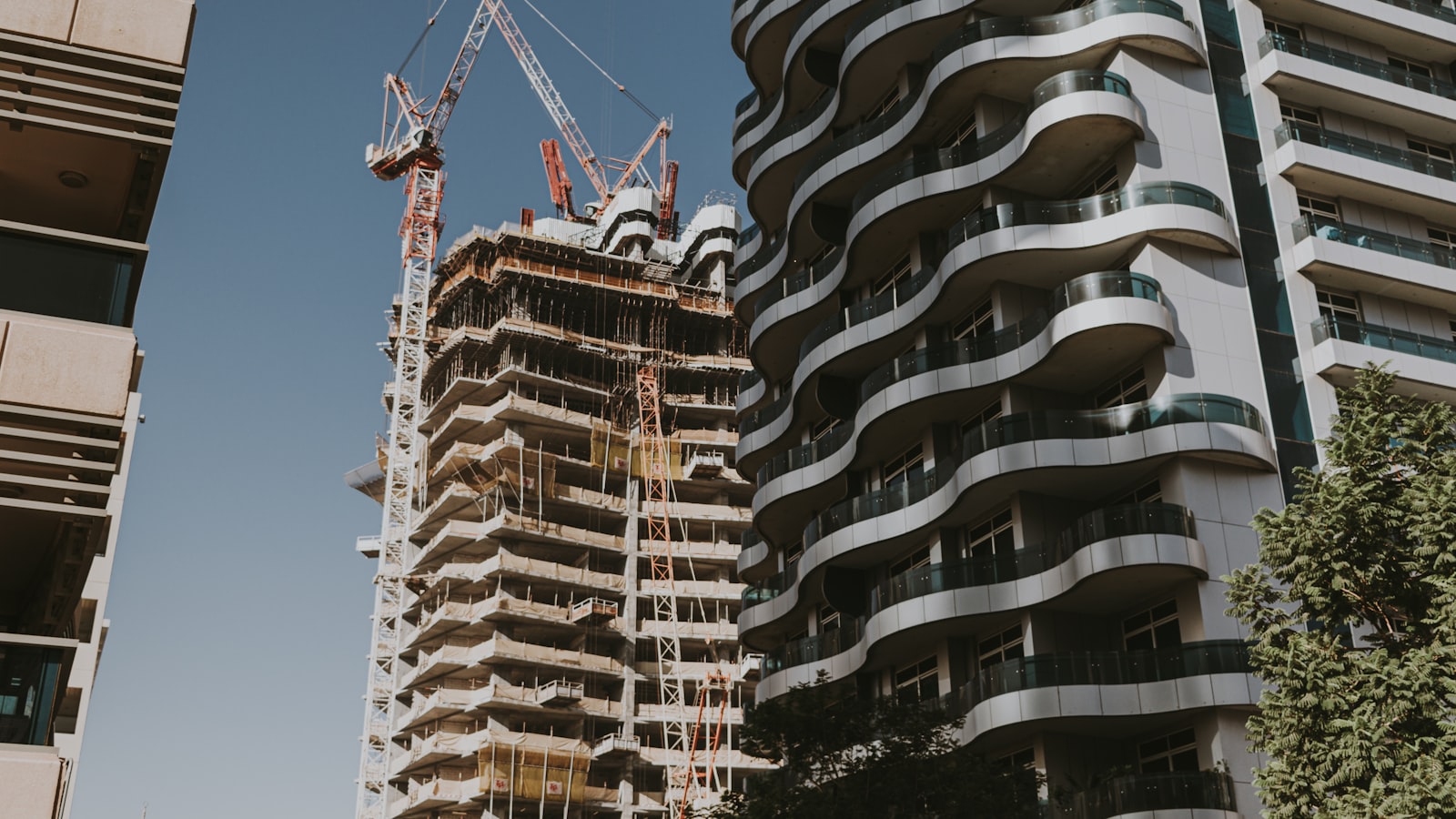
A building is a compact object, dense in systems, where spatial coordination dominates. A road, a network, a rail corridor are extended objects where geographic position, terrain and phasing matter as much as geometry. Applying building methods to infrastructure produces heavy, unhelpful models.
What is actually asked of an infrastructure model
How many structures between two chainage points, which ones sit in a flood zone, how much network must be diverted, what earthwork volume on a given section. These are attribute-data and geographic-overlay questions, not rendering questions.
Combining model and geographic data
Cross-referencing the model with geographic datasets — topography, land registry, existing networks, environmental constraints — answers those questions without opening the 3D model. That coupling is what separates infrastructure BIM from a stretched building model.
Structure before modelling
Naming conventions, structure breakdown and level of detail per phase are decided before the first modelled line. Reworking that structure mid-project costs more than modelling twice.
Think of the operator from the design stage
The asset will be operated far longer than it was built. An asset register created during the project, with a stable identifier per object, saves the operator from starting a full inventory after handover.
The success criterion
An infrastructure model succeeds when a question raised in a meeting is answered during that meeting. As long as it takes a week and a specialist to extract, the model has not yet replaced the drawings.
Published 22 May 2026 Discuss this topic with us